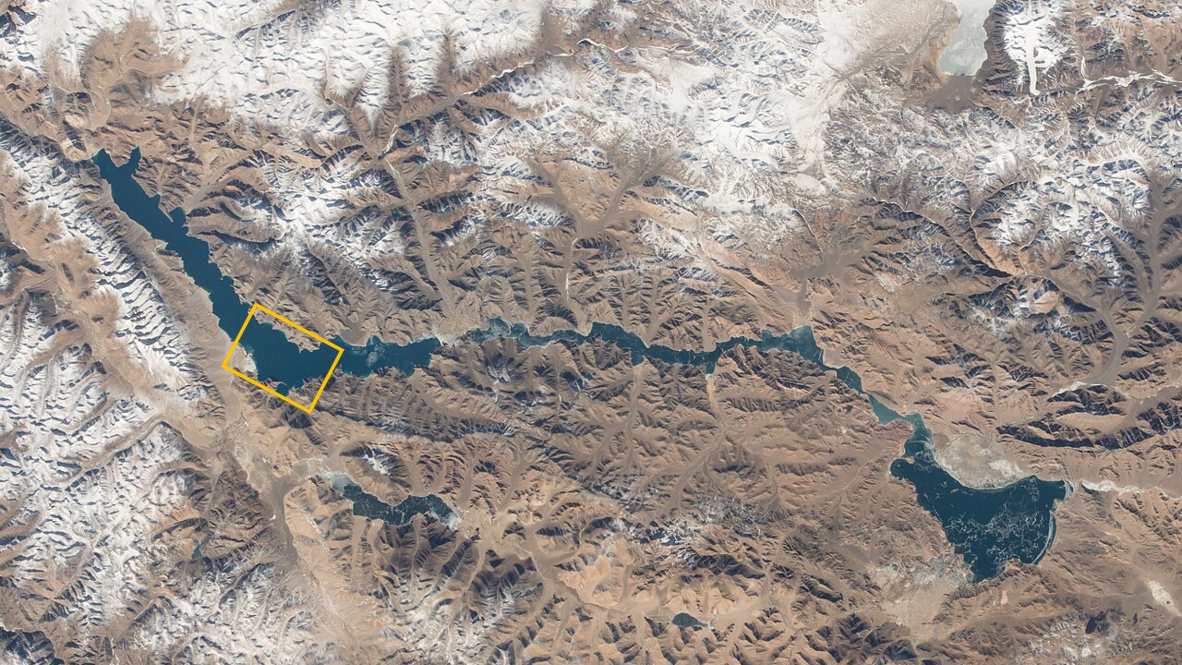
Where is it? Pangong Lake, Tibetan Plateau [33.75582309, 78.69202953]
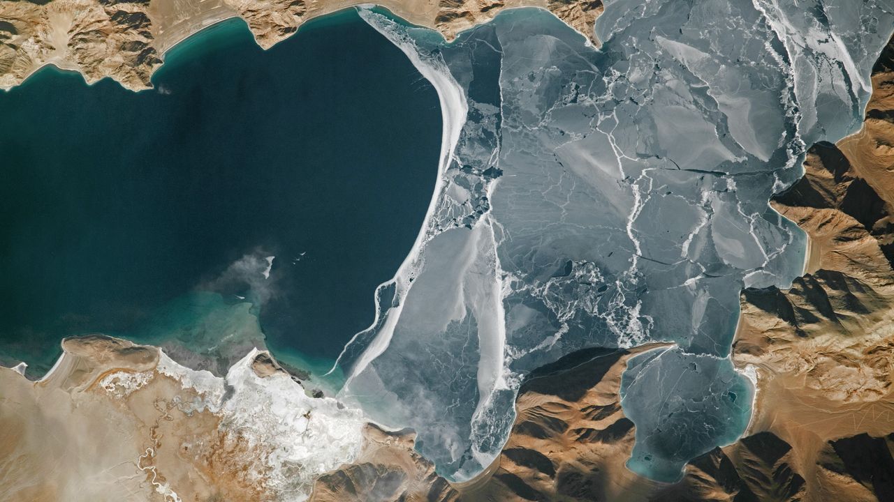
What's in the photo? Lake ice fracturing along a disputed border between China and India
Who took the photo? An unnamed astronaut on board the International Space Station
When was it taken? Jan. 25, 2024
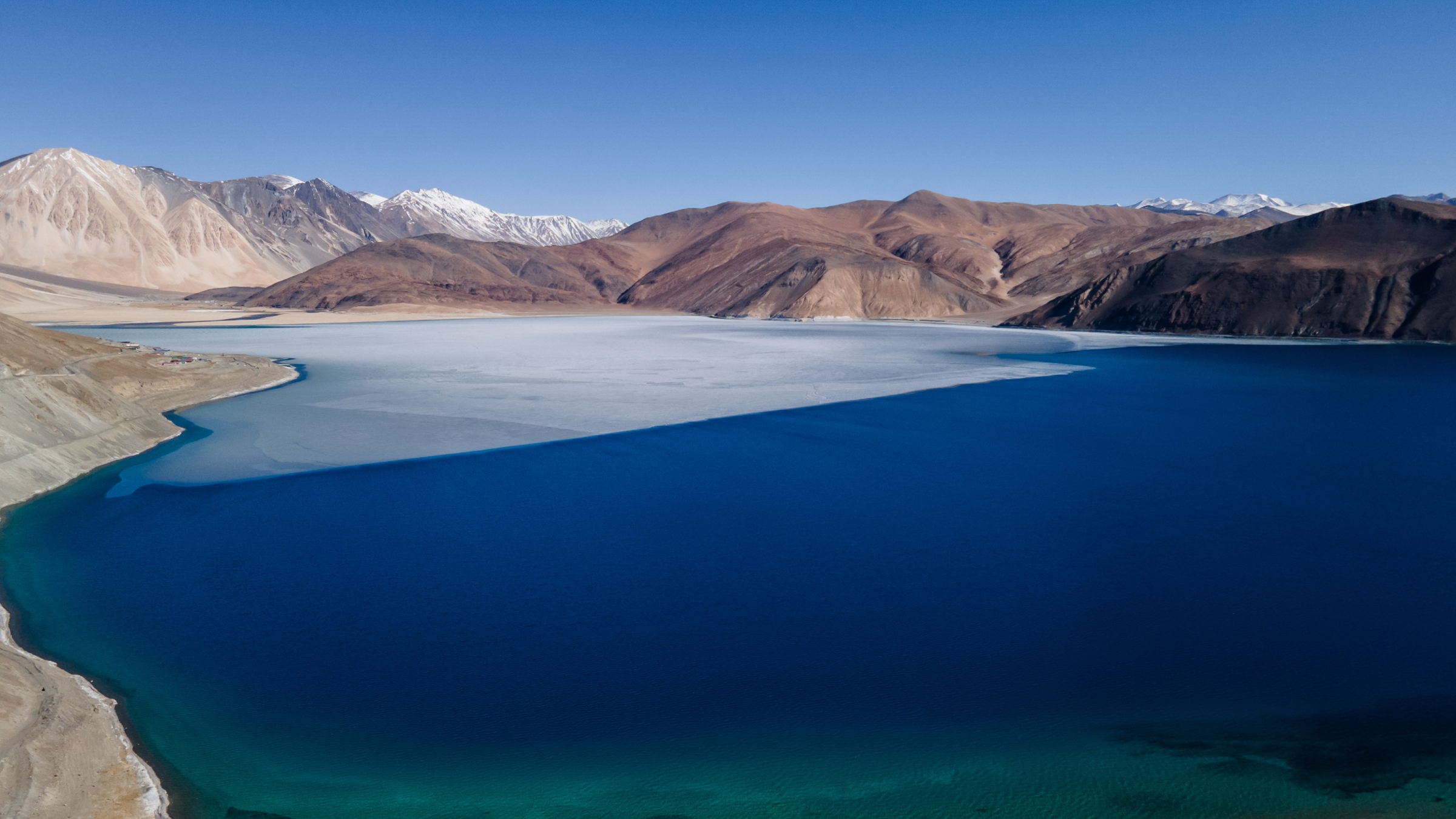
This eye-catching astronaut photo shows the fractured surface of the world's highest frozen lake lurking in the lofty climbs of the Tibetan Plateau. The smooth, white line where the ice meets the water closely follows a disputed border between China and India.
The elevated lake, known as Pangong Lake or Pangong Tso, sits at an altitude of 13,862 feet (4,225 meters), according to NASA's Earth Observatory. It is long and thin, stretching 83 miles (134 kilometers) across Ladakh, part of the Kashmir region administered by India; and Tibet, an autonomous region of China.
This photo shows a roughly 9.5-mile-long (15 km) section of the river, located around a third of the way along its length from west to east. This is also where the most widely accepted border between Ladakh (on the left of the photo) and Tibet (right side of the photo) lies. However, the exact position of the divide, commonly known as the Line of Actual Control, is poorly defined and has shifted in recent decades, according to The New York Times.
Pangong Lake is endorheic, meaning it has no outflow, and the only way water can escape is via evaporation. As a result, the lake's waters have built up an unusually high concentration of salt over thousands of years. This would usually prevent it from freezing. However, the temperature in the region can drop to minus 13 degrees Fahrenheit (minus 25 degrees Celsius), according to a local travel site, which is cold enough for the salty water to freeze over.
It is unclear why the lake's ice is fracturing in the photo. Normally, the entire body of water is completely frozen in January, when this photo was taken in 2024.
Although Pangong Lake has no major outflow, it is connected to several inflowing rivers, including one on the bottom left of this image. The river's delta has largely frozen over (visible as the large, white patch on land), but you can still see a small plume of water entering the river.
On the opposite bank of the delta, there is a beach littered with several striations parallel to the water. These are ancient shorelines left over from when the lake had a higher water level, according to the Earth Observatory.
Pangong Lake was likely once part of the Indus River, which stretches nearly 2,000 miles (3,200 km) across South and Central Asia. However, it was likely cut off from the waterway millions of years ago as the Indian and Eurasian tectonic plates collided and the Tibetan Plateau and Himalayas formed.
Disputed border
The Line of Actual Control was first established in 1959 but was largely set in its current position in 1962 after the Sino-Indian War. Although the countries have technically been at peace ever since, frequent and occasionally deadly skirmishes have broken out along the border, including on the shores of Pangong Lake, according to the BBC.
Nonetheless, the lake frequently draws tourists from both China and India, particularly bird-watchers, who travel there to see the large groups of bar-headed geese (Anser indicus) and Brahminy ducks (Tadorna ferruginea, also called ruddy shelducks) that breed there, according to the Earth Observatory.
On the Ladakh side of Pangong Lake, extreme-sports enthusiasts run long distances across the lake's ice. In February 2023, dozens of runners gathered there to participate in the highest-altitude frozen lake half-marathon ever recorded, according to Guinness World Records.
See more Earth from space
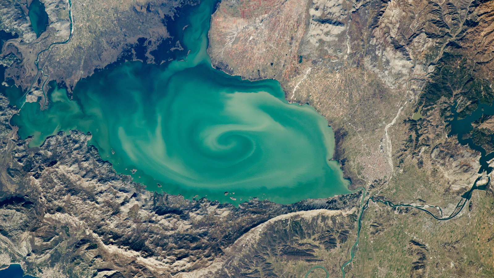 Green vortex in 'cryptodepression' lake
A 2020 astronaut photo shows a massive, milky-green vortex in Lake Skadar, which lies on the border between Montenegro and Albania.
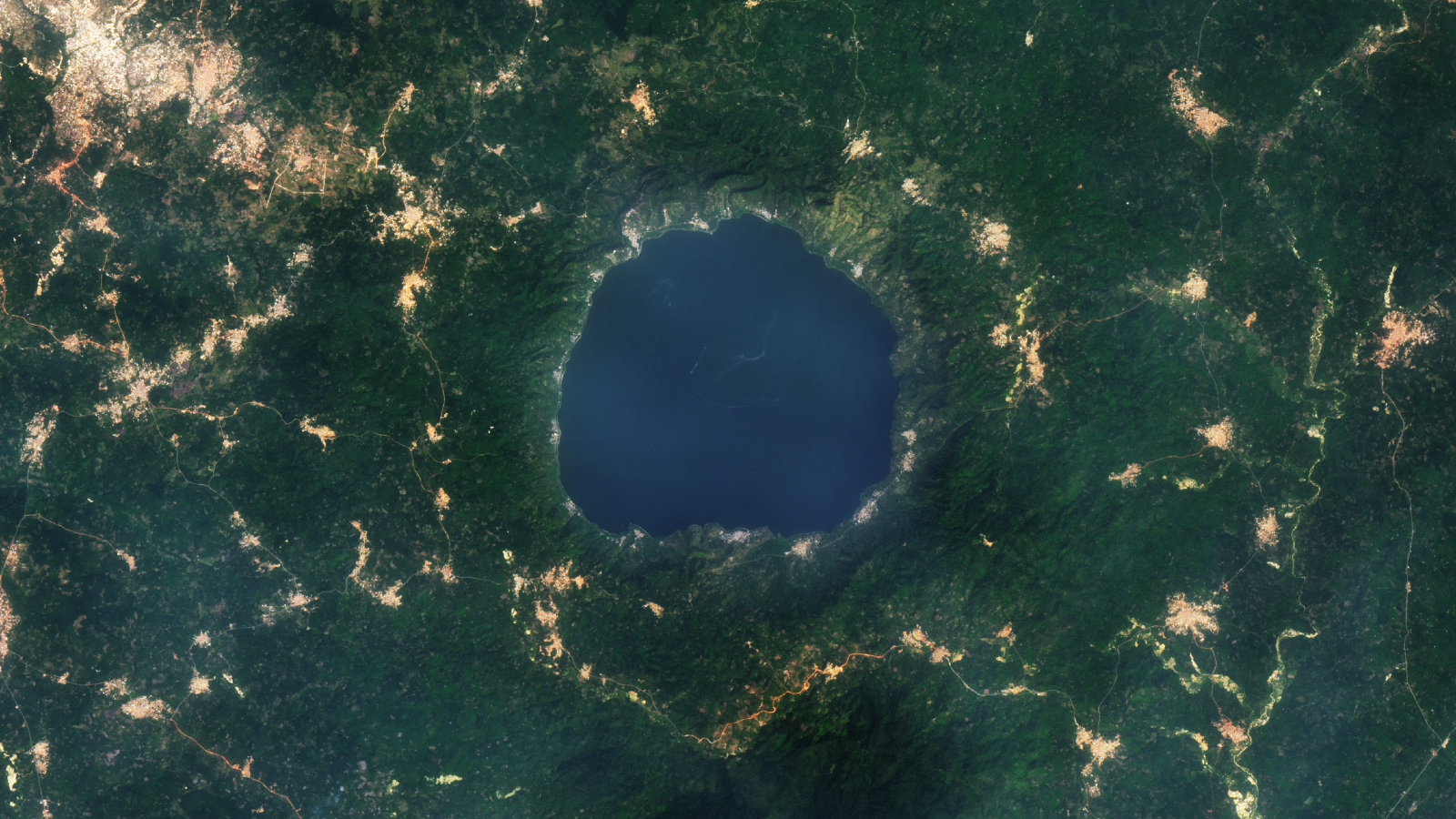 Gold glitters around 'lake of souls'
A 2015 satellite photo shows a series of golden tendrils surrounding Ghana's Lake Bosumtwi, which is considered sacred to the local Asante people.
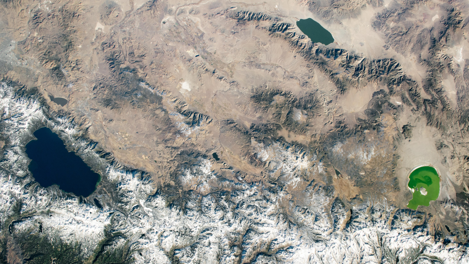 Trio of colorful lakes straddles states
A 2020 astronaut photo shows three uniquely colored lakes — Tahoe, Walker and Mono — straddling contrasting biomes on either side of the California-Nevada border.